Know Every Subsurface, Potash & Spill Risk Before You Sign
Institutional-grade land intelligence for Carlsbad, Eddy County, and Lea County. Drop a pin on live high-resolution satellite imagery to intersect 24 official federal and state regulatory layers in under 10 seconds.
Jump to tract:
T22S R27E Sec 18 · 32.3988, -104.2286
Overlays
TractC-141BrineWaterEPA/NMEDBattery
24 Live Federal & State Intelligence Layers
See What Sits Beneath Every Acre in Eddy & Lea County
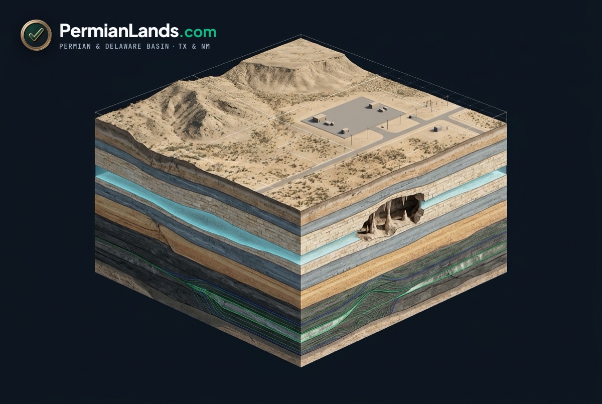
Generic property maps stop at fence lines. In southeastern New Mexico, the real deal-breakers—karst caverns, shallow aquifers, Secretary’s Potash drill islands, and open C-141 plumes—sit underground.
BLM Karst, Potash Order 3324 & Split-Estate
Live intersection against BLM Carlsbad Karst polygons (Low–Critical), NMSLO Potash R-111-P, BLM MLRS leases, and federal mineral ownership.
FEMA Flood, USFWS Wetlands & 19.15.29 Table I
Official NFHL flood zones, NWI wetlands, USGS ground elevation, and 1-mile NMOSE water wells auto-calculating NMOCD Table I chloride & TPH limits.
NMOCD C-141, U.S. EPA FRS & NMED Contamination
Open oil/produced-water spills, NMED LUST leaking fuel tanks, Groundwater Discharge Permits, Brownfields, Air Violations, RCRA & Brine Wells.
60-Second Audit-Ready Deliverable
Replace Five Government Portals & Two Weeks of Waiting
Built for Carlsbad, Artesia, Hobbs, and Midland commercial brokers, landmen, environmental consultants, lenders, and industrial developers who need real agency links before earnest money goes hard.